The Challenge
Erasmus University's Rotterdam campus sits directly within a government-designated no-fly zone — one of the most restrictive airspace classifications in the Netherlands. Standard commercial drone operations are prohibited, which had previously made aerial building inspection impossible.
The university's facilities team managed a large campus with buildings of varying age and construction type. They needed comprehensive condition data — not just visual exterior assessments, but thermal analysis to identify energy loss, moisture infiltration, and membrane failures across flat roofs and curtain wall systems. Traditional methods would require months of scaffolding work across multiple buildings.
The Solution
Aeroscan navigated the regulatory process to obtain a special government exemption for drone operations within the restricted airspace. This required detailed flight planning, coordination with aviation authorities, and compliance documentation that few operators can provide.
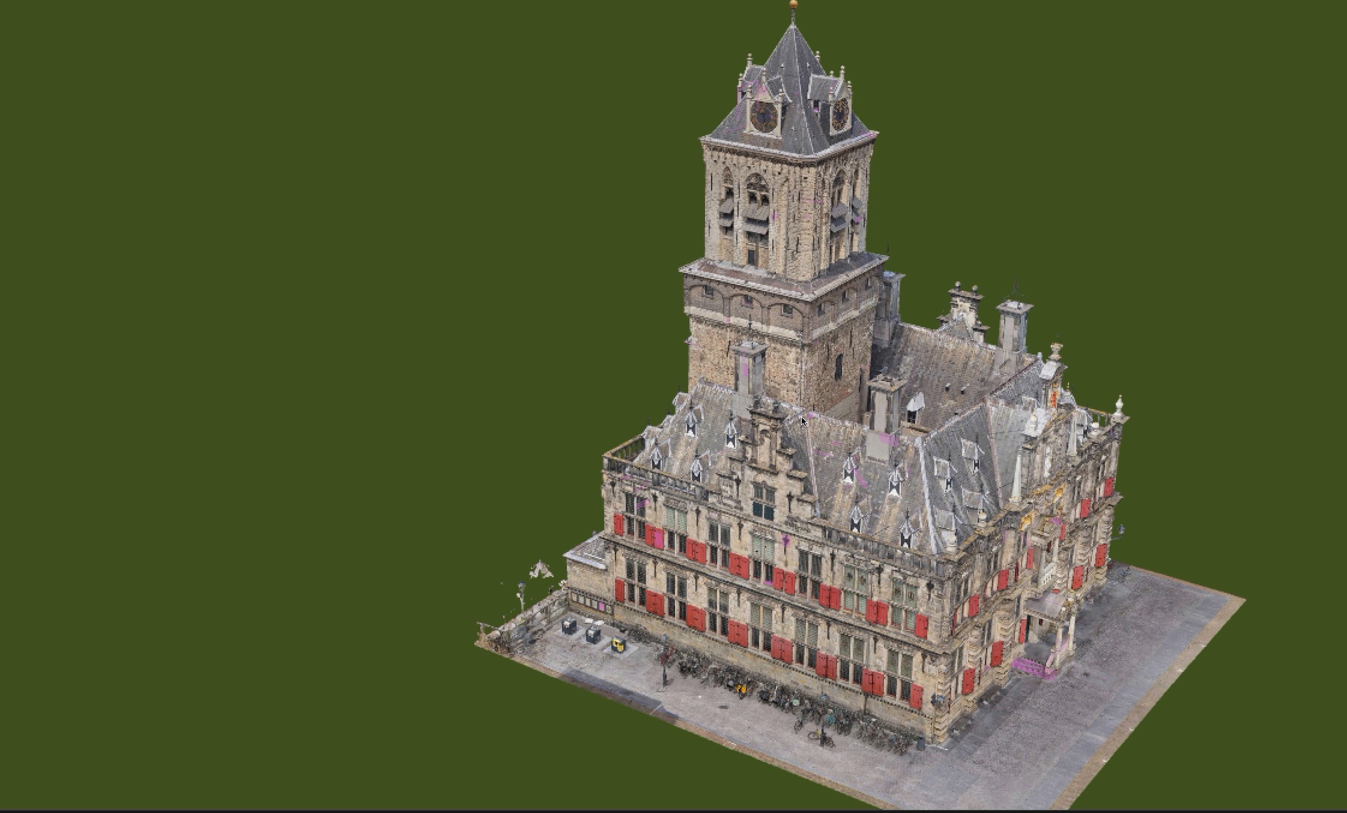
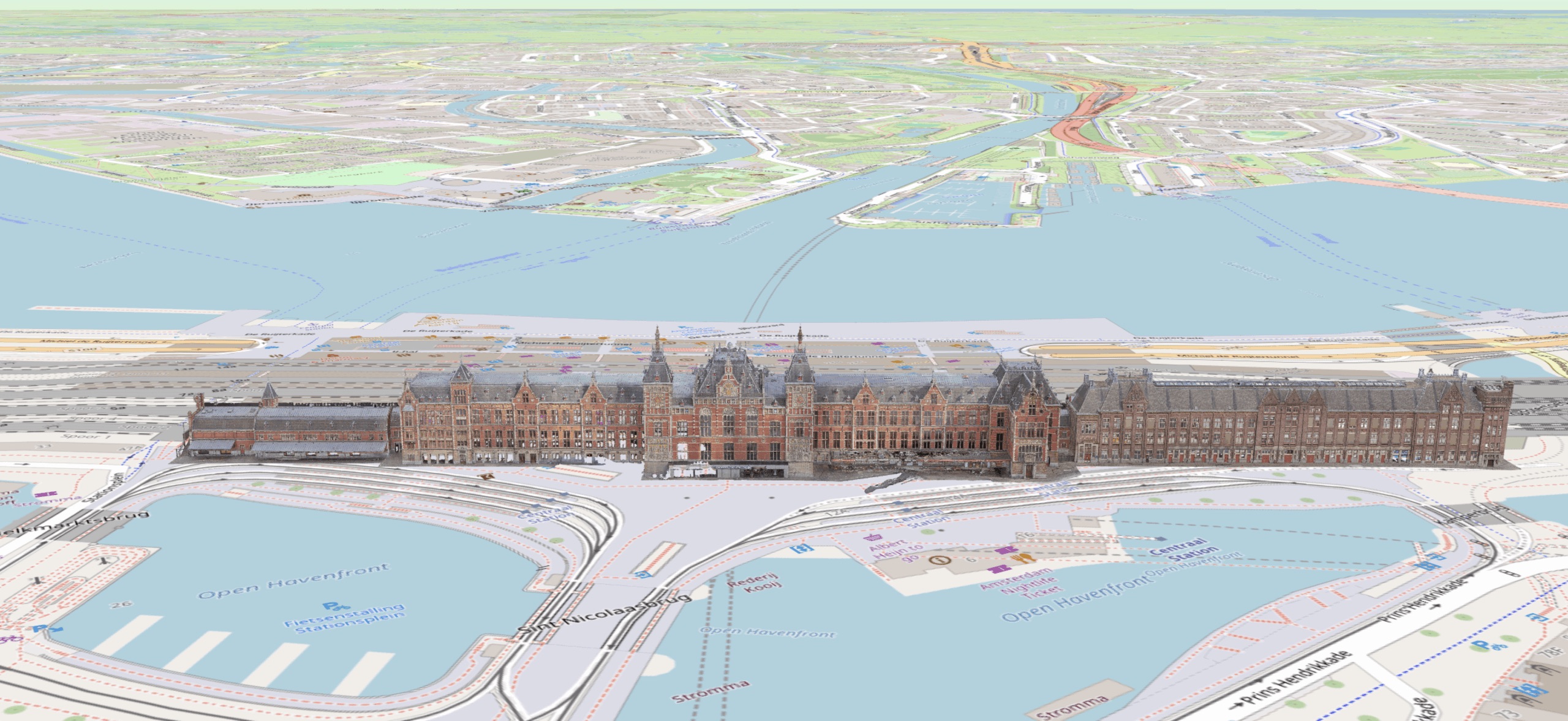
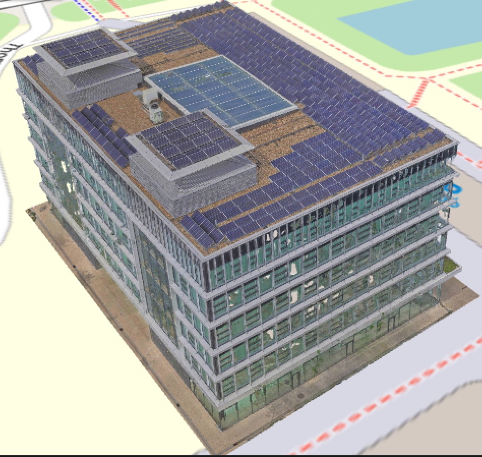
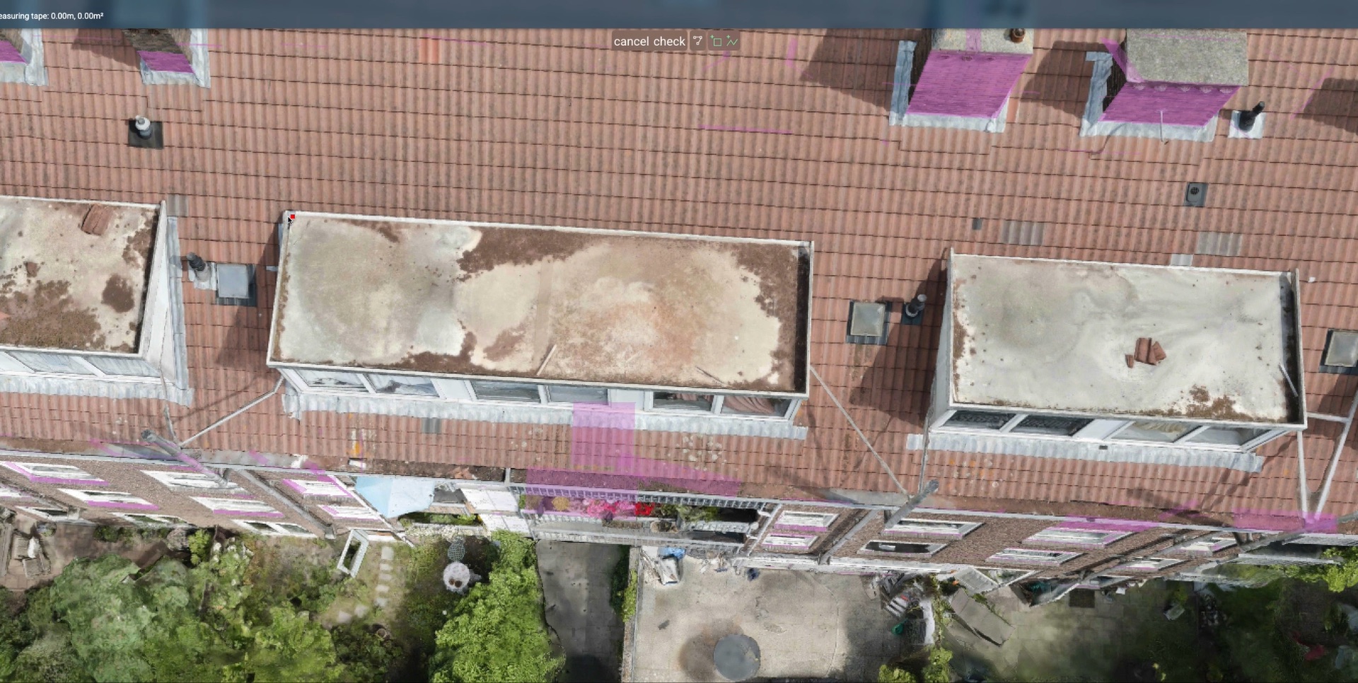
Once approved, each campus building was captured with approximately 8,000 high-resolution photographs — far more than typical inspections — ensuring every surface detail was documented. The images were processed into 0.3mm-accurate 3D digital twins, and thermal imaging overlays were layered on top to reveal energy performance issues invisible to the naked eye.
- Government no-fly zone exemption obtained through regulatory expertise
- 8,000+ high-resolution photos captured per building
- 0.3mm measurement accuracy on all 3D models
- Thermal (infrared) imaging for moisture and energy analysis
- Combined visual + thermal data layers in a single platform
The Results
The university received complete digital twins of every campus building, with thermal analysis revealing energy inefficiencies and membrane issues that had gone undetected for years. Flat roof sections showed moisture infiltration patterns only visible through infrared imaging. Curtain wall thermal bridges were mapped and quantified for the first time.
The data became the foundation for a multi-year capital improvement plan. Instead of guessing which buildings needed attention, the facilities team could prioritize based on objective condition data and thermal performance metrics. The 3D models are updated with each inspection cycle, creating a longitudinal record of building health across the entire campus.
Why This Matters for US Properties
Many institutional campuses — universities, hospital systems, corporate parks — face the same challenges: large building portfolios, limited inspection budgets, and the need for data that goes beyond visual assessment. AerialSpect brings the same multi-building, thermal-enabled inspection methodology to properties nationwide, including expertise in FAA airspace authorization for properties near airports and other controlled zones.