01

Drone Data Capture
FAA Part 107 licensed operators fly commercial drones around your building, capturing thousands of high-resolution images of every exterior surface. No scaffolding, no swing stages, no tenant disruption. Most buildings are captured in a single session.
Hours, not days02
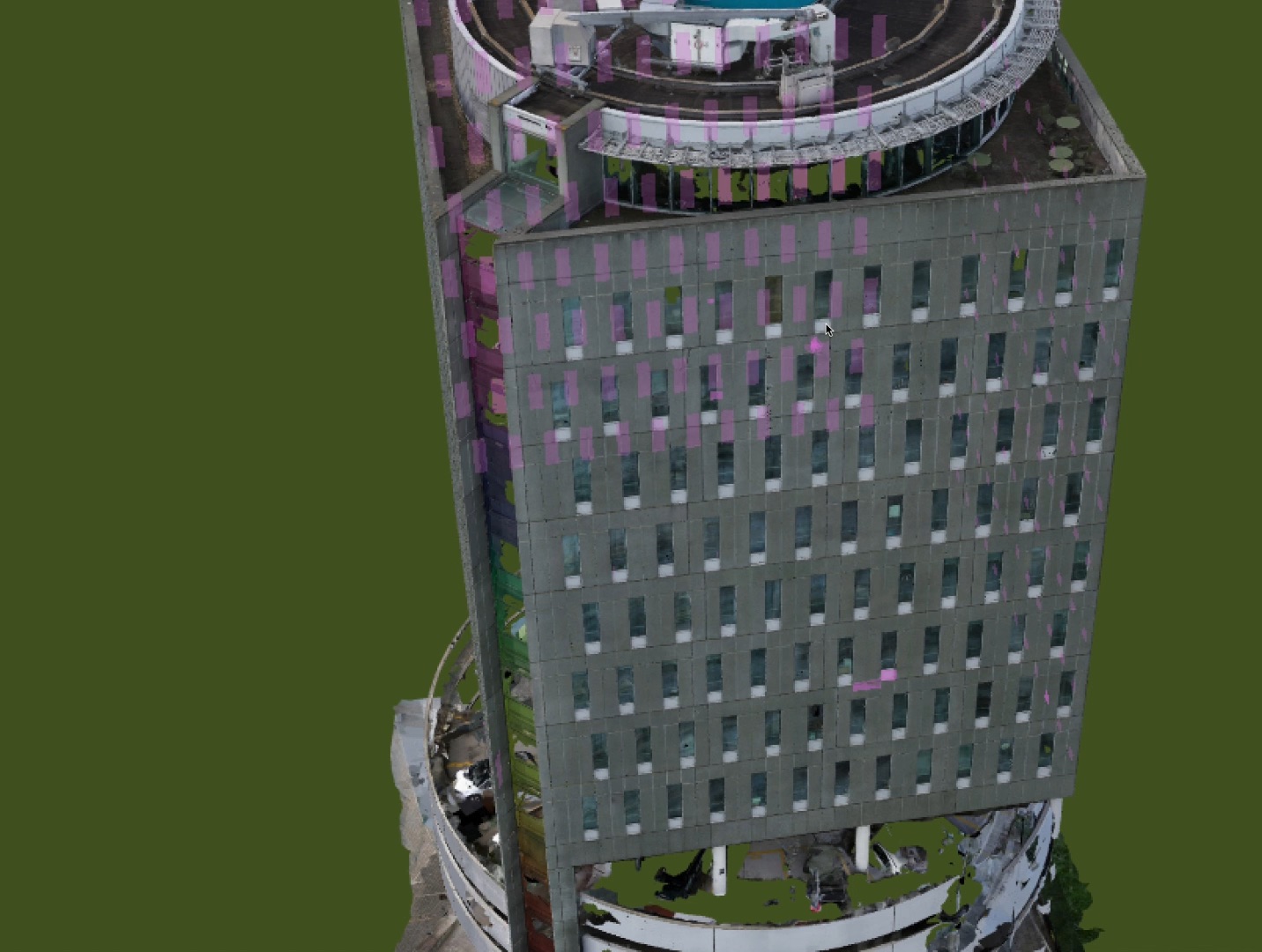
3D Model Processing
Thousands of overlapping images are stitched together using photogrammetry to create a millimeter-accurate 3D digital twin. Every surface is measurable. Every angle is navigable. The model lives on our cloud platform, accessible from any device.
Millimeter accuracy03
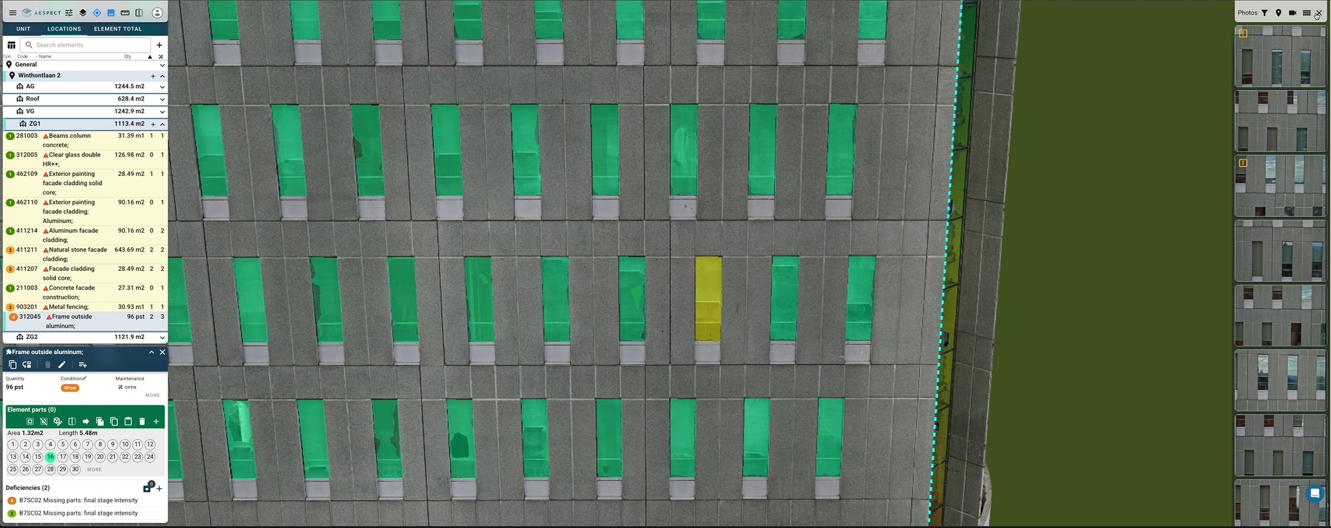
Inspection Report + Platform
Certified inspectors annotate defects directly on the 3D model, ranked by severity and urgency. You receive a prioritized report and ongoing platform access to track conditions, share with contractors, and plan maintenance over time.
One platform, every asset